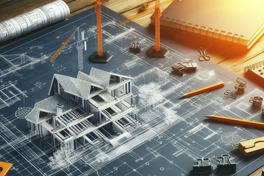
Project teams often discover that the success of a site depends on how clearly its final conditions are documented. Accurate as-built drawings give civil engineering and land development professionals the dependable information they need long after construction is complete. These records become the foundation for safe planning, long-term performance, and dependable decision-making.
Verified Field Conditions Keeping Construction Plans Aligned with Reality
As-built drawings capture the difference between what was designed and what was actually built. Civil engineering consultants use these verified measurements to understand whether foundations, utilities, roads, and site features match their intended locations. Field conditions often shift during construction because of soil conditions, design adjustments, or unforeseen obstacles, so documenting these changes keeps the record accurate.
Reliable field verification also protects future work on the property. Updated drawings reduce the risk of conflicts during renovations, utility tie-ins, or expansions because engineers know exactly what exists underground and above ground. This accuracy helps Knoxville engineering firms make informed decisions backed by proven data rather than assumptions.
Precise Utility Mapping Preventing Conflicts During Future Site Work
Mapping utilities as they were actually installed is one of the most valuable parts of an as-built package. Civil engineering and land development projects depend on having precise information about water lines, storm drains, sanitary systems, power conduits, and communication routes. Misplaced utilities can cause delays, safety hazards, or expensive rework.
Detailed utility records help contractors avoid striking or damaging critical lines during excavation. Engineers gain a clear view of slopes, depths, crossings, and separation between systems, allowing future improvements to move forward without unnecessary delays.
Documented Elevations Guiding Accurate Grading and Drainage Decisions
Elevation data influences nearly every decision made on a site. As-built drawings record actual grades, slopes, and spot elevations so civil engineering consultants can confirm whether drainage features will perform as intended. Minor elevation differences can affect water flow, retention pond capacity, and erosion behavior. Accurate elevation documentation also becomes essential during later redevelopment. Teams planning additions, roadway tie-ins, or landscape improvements rely on this information to keep water away from structures and maintain compliance with local standards.
Updated Layout Records Reducing Risk in Long-term Infrastructure Planning
Infrastructure networks evolve over time, and updated layout records prevent confusion as the site matures. Civil engineering services depend on these drawings to understand distances, alignments, and relationships between site features such as roads, parking lots, sidewalks, and retaining walls.
Long-term planning becomes far smoother because teams can evaluate the site based on verified conditions rather than outdated design assumptions. This stored knowledge helps Knoxville engineering firms manage assets responsibly and reduces the risk of costly mistakes during upgrades.
Clear System Locations Simplifying Maintenance and Repair Activities
Knowing exactly where systems are buried or installed makes a measurable difference during repairs. Maintenance teams often review as-built drawings before digging, cutting pavement, or connecting new equipment. The clarity they provide minimizes disruption and reduces the time needed to locate pipes, valves, and junction boxes.
Systems that are easier to find are also easier to maintain. With accurate drawings, civil engineering and land development professionals can diagnose problems faster, prevent unnecessary excavation, and protect nearby utilities from accidental damage.
Accurate Dimensions Improving Reliability of Future Design Revisions
As sites evolve, dimensional accuracy becomes essential. Engineers checking setbacks, easements, building footprints, and roadway widths rely on as-built dimensions to see how well the site matches previous plans. Even small differences can affect zoning compliance, drainage patterns, or structural safety.
This precision allows future design revisions to proceed with confidence. Teams avoid repeating old mistakes because the as-built drawings reveal what was changed, where it occurred, and what remains feasible for future development.
Recorded Modifications Ensuring Compliance with Regulatory Requirements
Many civil engineering services must meet specific regulatory standards. As-built drawings provide documented proof that utilities, drainage systems, roads, and structural components were installed correctly. Local agencies often require these records before granting final approval. Documented modifications also help when regulations change over time. Engineers can compare the existing site with updated requirements and determine whether improvements are needed to maintain compliance.
Reliable Site Data Supporting Smooth Transitions into Next Project Phases
A well-maintained as-built package ensures that the next team—engineers, contractors, planners, or surveyors—receives complete and dependable information. This smooth transfer of data reduces delays, prevents errors, and supports smarter decisions as future phases unfold. Clear drawings help teams understand how previous work was completed and how best to build on it. These benefits matter even more in large civil engineering and land development projects, where the cost of misinformation can be significant. For property owners seeking professional support, Ivaldi Engineering delivers civil engineering services equipped to document, manage, and apply accurate as-built information effectively.